
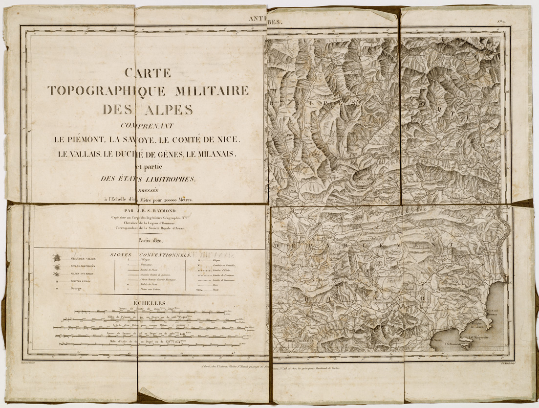
(N:8632) CARTE TOPOGRAPHIQUE MILITAIRE DES ALPES COMPRENANT LE PIEMONT, LA SAVOIE, LE COMTE DE NICE, LE VALLAIS, LE DUCHE' DE GENES, LE MILANAIS, ET PARTIE DES ETATS LIMITROPHES - Foglio 10 - Antibes (B0004573) Carte e stampe antiche: riproduzione digitale a 300 DPI
Dresse l'Echelle d'un Mtre pour 200.000 Metres. Par J.B.S. Raymond Capitaine au Corps des Ingnieurs Gographes M.taires Chevalier de la Lgion d'Honneur, Correspondant de la Socit Royale d'Arras.
Rappresentazione orografica a tratteggio; sulla sinistra sotto al titolo recasi la legenda dei segni convenzionali. Raymond direxit, F. P. Michel sculpteur.
25.0€
NETTO
IVA
22.0%
-
Disponibilita'

- Accedi al sito per procedere con l'acquisto
Modalita':
Riproduzione digitale a 300 DPI
Data:
1820
Regioni:
Piemonte
