Series 25 DBSN - unsupervised generation
The new map series at scale 1:25.000, produced since 2022, is made up of 1475 elements. The cartographic generation is unsupervised by using data of the DBSN - (DataBase di Sintesi Nazionale).
|
|
|
|
GEOGRAPHICAL GRID SYSTEMS |
Download shapefiles |

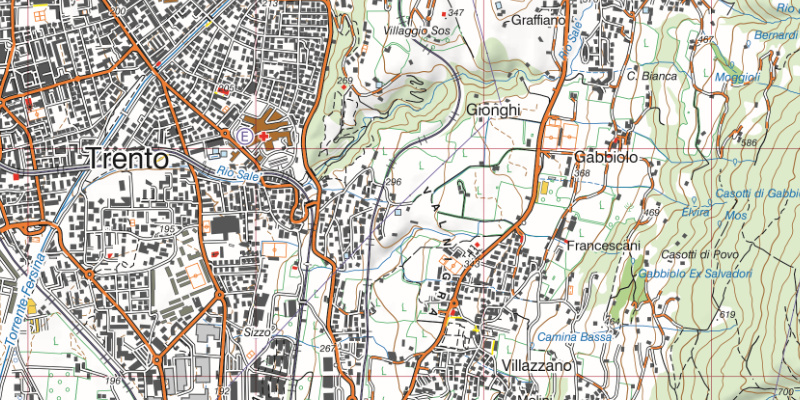
Trento map’s cartographic excerpt
Product description
The reference system is RDN2008/Italy Zone (Fuso Italia) E-N, EPSG 7794 (equivalent to RDN2008/Italy Zone (Fuso Italia) N-E, EPSG 6875). Map’s subdivision in degrees and minutes is indicated in the frame.
Each element covers a map area of 18 by 14 km, and the total size of the map, including marginal inscriptions, is 87.5x60 cm.
Map production is fully unsupervised, with no subsequent interactive editing. Thanks to the availability of up-to-date data, such procedure let to rapid re-generation of maps.
Each map is available in 3 formats: GeoPDF (300 DPI, CMYK colors), GeoTIFF (300 DPI, CMYK colors), and GeoTIFF (300 DPI RGB) without marginal wording.

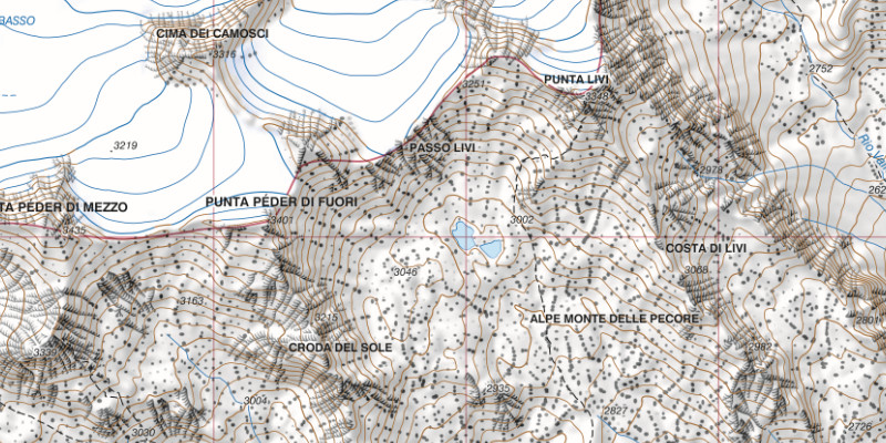
Cartographic detail with orographic data
Contents
- Contents are mainly obtained from regional sources with additions of IGMI data, other national public bodies data and data available on the web, such as Open Street Map.
- Represented data are the result of revisions based on the interpretation of orthoimages and aren’t based on direct surveys of the area.
- Road system is updated for major links.
- Administrative boundaries are derived from cadastral boundaries with reworks to make municipal areas congruent with each other and with the State boundary.
- Built-up areas are detailed by major use categories.
- Place names are currently under updating and standardization process.
Remarks on symbology
Symbols used in maps at scale 1:25,000 have been deeply revised from those of previous series. While the style is deeply rooted in IGMI’s history, some updates have been carried out according to the new objects listed in technical specifications.
The great variety of basic data has encouraged greater differentiation in symbols: for example, buildings are differentiated by their use: religious, administrative, health, agricultural, commercial, industrial, military, etc.

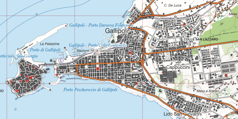
Cartographic detail of a build-up area
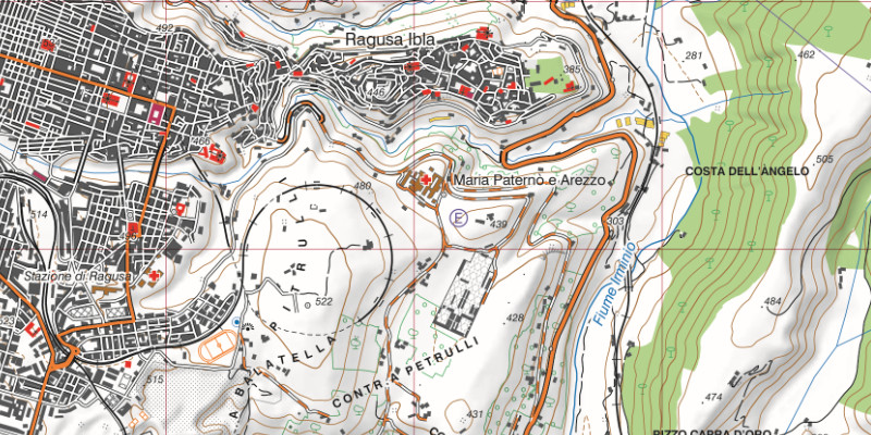
Symbols have been reviewed in order to highlight their logical grouping. For example, in many cases the 'colour' classifies the symbolised object: administrative components have been represented in 'purple' (administrative boundaries, town halls, etc.), electricity-related objects are in 'electric blue' (power stations, power lines, transformer substations, electrified railways), sports facilities are in 'red' (stadiums, tennis courts, various sports tracks, etc.), landforms are in 'brown' (contour lines, embankments, escarpments, sinkholes, etc.) and aviation components are depicted in 'aviation blue' (airports, helipads, runways, etc.).

Cartographic detail with symbology indicated in different colours


 Buy online: